 |
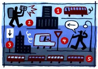
VanRamblings this afternoon provides information (corrected, as of 5 p.m.) on Navigate The Streets, a sort of urban scavenger hunt where participants compete in teams of two. At the beginning of the race, each team receives a list of clues that, when solved, reveal checkpoints around nine cities (in this case, Vancouver) across Canada. There is no set course. Contestants compete on foot or use public transit. The team that visits all the checkpoints, in their respective city, and returns to race headquarters in the least amount of time wins. So far, so good. Sounds like fun!
The information above is provided in response to an e-mail, sent to me some while ago, from organizer Tim Shore …
“Navigate The Streets was created by me last October. I organized a race in Toronto. 76 teams (152 people) participated. Since everyone had a good time and the response was so positive, I decided to get a group of
us together to organize it in cities across Canada. Officially, the race was created and is organized by a company that I founded called Level 28”.
Contestants may bring whatever tools they feel might help them in their quest to navigate the streets of the city, and may employ such smart mob orientation devices as a cell phone, a wi-fi enabled handheld, map and guidebook, or a notebook computer. A digital, or polaroid, camera is required to take a photo of each checkpoint, as offer of proof that the checkpoint was reached. Winners of each race across Canada — and races take place not only in Vancouver, but in Calgary, Edmonton, Halifax, Montreal, Ottawa, Québéc City, Toronto and Winnipeg, as well — will receive free airfare, two nights double occupancy accommodation, and free entry to the final, winner take all ($10,000) race in Montreal.
Navigate The Streets is sponsored by the Monster Beverage Company, FatPort, TakingITGlobal, Om Records, Axis Gear, and the Georgia Straight. The charity parnter is Right To Play.